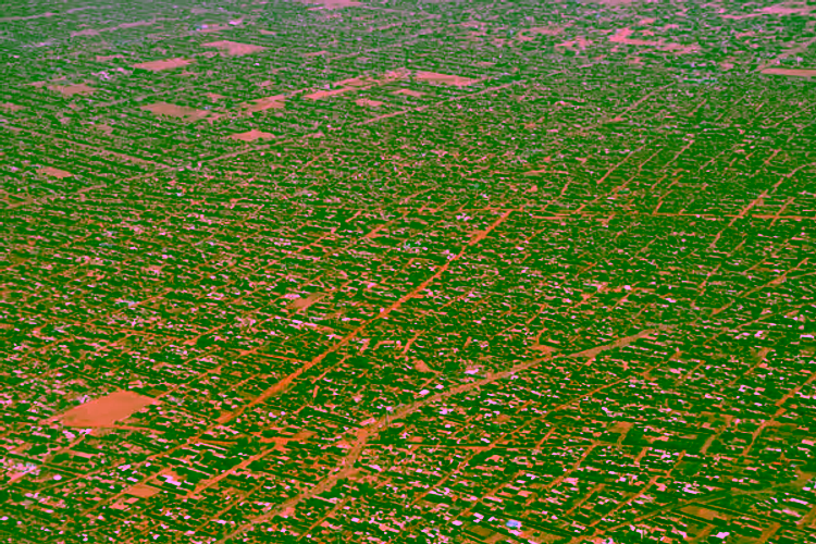
Capacity strengthening for gender responsive and sustainable urban development: Integrated Deprivation Area Mapping System for Displacement Durable Solutions and socioeconomic reconstruction in Khartoum, Sudan (IDeAMapSudan)
IDeAMapSudan is a 2.5 year project aiming to develop a community-led geo-spatial database for mapping deprived urban areas (e.g., informal settlements) that will support the decision making process for displacement socio-economic reconstruction in Khartoum, Sudan. The project is part of the IDEAMAPS Network.

Latest News
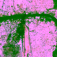 Clashes in Sudan
Intense fighting in Sudan entered its third day - images released by PlanetScope reveal the scale of the violent clashes 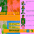 Public Lectures
23 Februrary 2023, Khartoum, Sudan
Presenting the IdeaMapSudan output and lessons learned, and the latest advancements in the GIS and Earth Observation fields.  Final Symposium
20 - 23 February 2023, Khartoum, Sudan
To present the IdeaMapSudan output and lessons learned, discuss developing informed poverty policy alleviation strategies and livelihood strategies, and address sustainability and follow-up projects 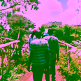 Field work
19 - 25 September 2021, Nairobi, Kenya
One week training and field data collection for the ToTs in Nairobi, Kenya 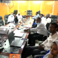 Expert Workshop
17 August 2021
Discussing with experts about the local context of deprivation and informal settlements in Khartoum, Sudan 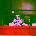 Kick-off Workshop
12 January 2021
Presenting IDeaMapSudan
Partners


Contact